Aerial imaging solutions for the commercial property sector
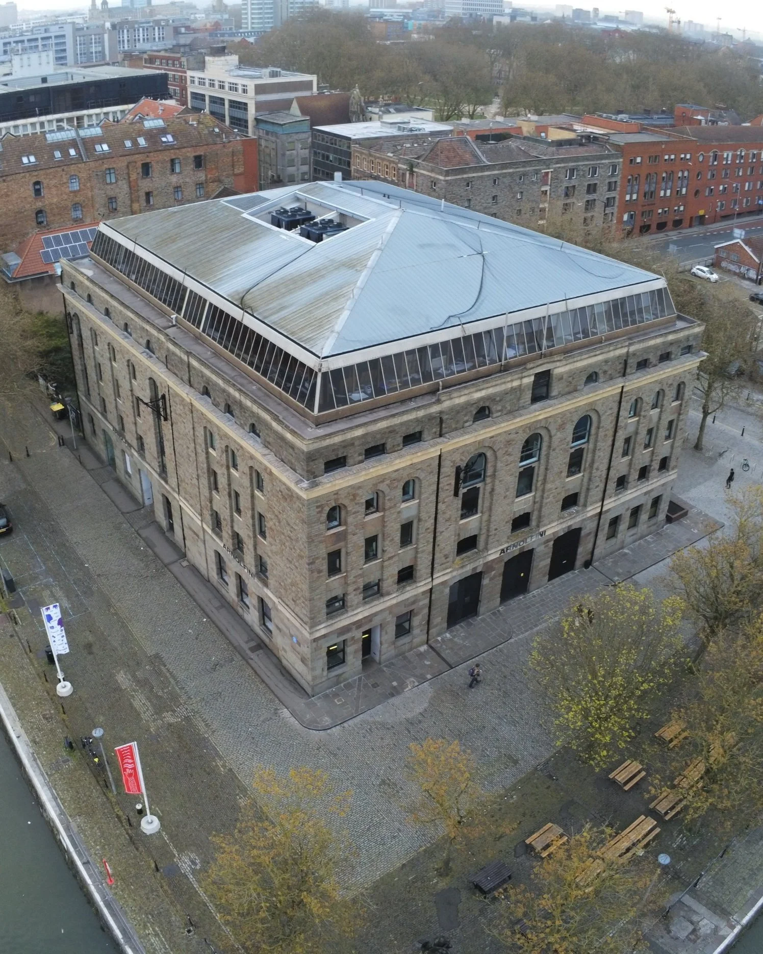
Building condition survey
Large scale commercial roof
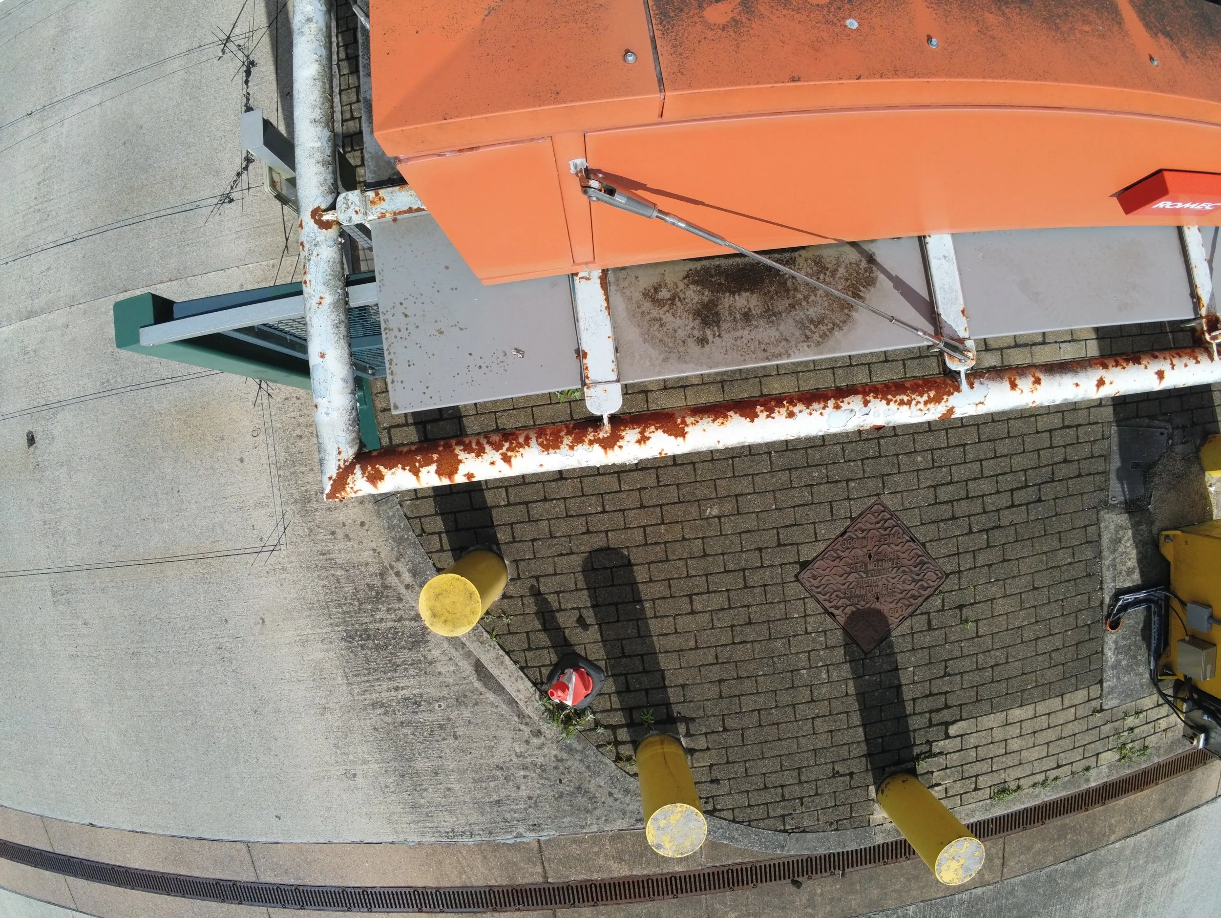
We support industry professionals by providing large-scale high resolution survey imagery
Fully insured
Fully insured, including bespoke cover for high risk environments. Full pre-flight survey & risk assessment carried out for all projects.
Save on scaffolding
No need for expensive or intrustive scaffolding. Ideal for securing imagery for inaccessible areas or high risk structures. Save time and money.
Established 2013
Experienced drone pilots with more than 10 years’ industry experience. All our pilots operate under CAA guidance (CAP722) including (where appropriate) A2CofC, GVC & operational authorisation.
Drone surveys
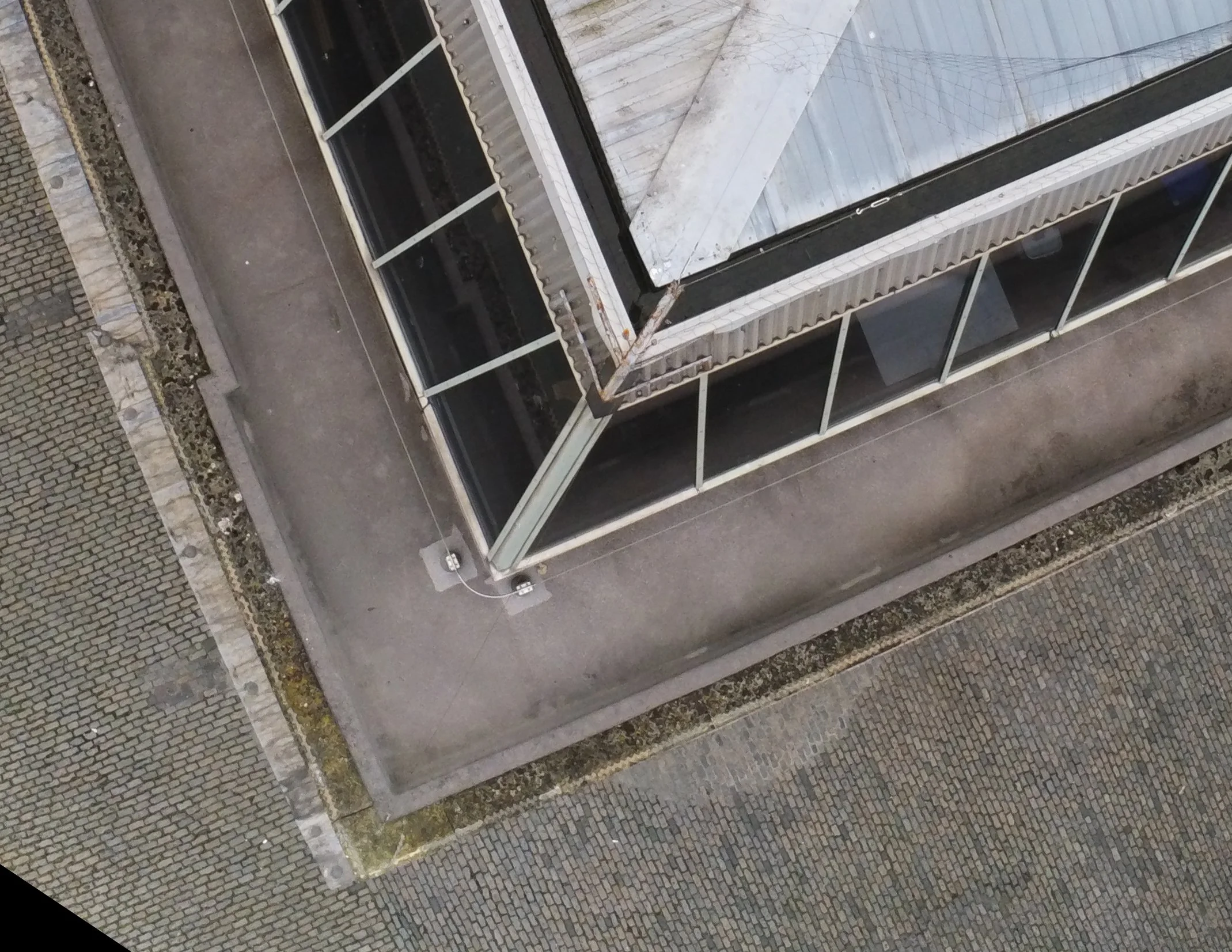
Our drones are used to survey structures including roofing, brickwork, chimneys, guttering & solar panels. High resolution still imagery & video provided. Radiometric thermal imaging also available.
3D Modelling
Rectified Orthomosaic
Radiometric Thermal Imaging
Contact us
vpaerialimaging@gmail.com
07715 525885


